
“As a human being I am 100% a disturbance”
With this sentence, one of the workshop speakers introduced his presentation on disturbance ecology in the use of drones. Under this and other program points, about 25 participants informed and discussed under the topic “Drones in nature conservation monitoring” from June 13th to 15th 2022. In addition to the presentation of the results from the project NaTec by Dr. Carsten Neumann and Vanessa Ochlast, six other speakers had the opportunity to share their experiences and successes. Over three days, the participants learned about different fields of application and opportunities of monitoring with drones, but also about problems and negative experiences. Whether in meadows, forests or over mountains, collecting conservation data using drones is becoming increasingly popular. It enables the monitoring of large, inaccessible areas in comparatively little time and offers further advantages in comparison to terrestrial monitoring in terms of work safety, financial commitment or simply unknown perspectives.

Several contributions were also devoted to the analysis of the large amounts of data obtained this way. Here, many of the conservationists work on their own or together with partners using methods of machine learning, which allows an automatic analysis of the data with regard to various questions. Several software solutions enable the identification of individual plants or animals as objects, the assignment of vitality status or the modelling of habitats.
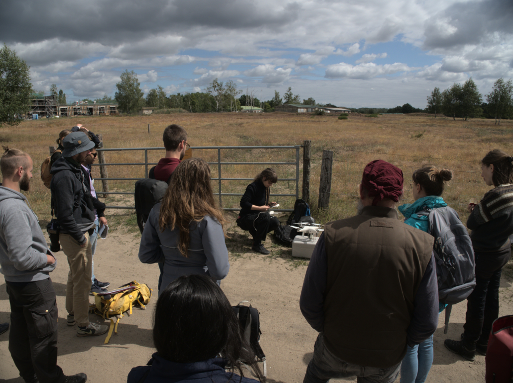
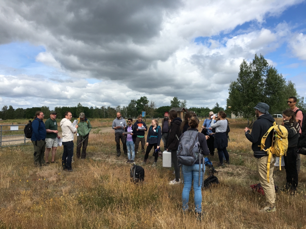
The second day started with an excursion to the Doeberitzer Heide, where the participants could get an idea of some of the presented recordings of the NaTec project. The former military training area is largely owned by the Heinz Sielmann Foundation, and research and monitoring have already been implemented for a long time together with the Geoforschungszentrum Potsdam in the field and using drone and satellite images. An area of about one hectare was already mapped with a Phantom DJI drone last year and May of this year. The participants used these images as a map to find their way around the terrain among dry silver grass, mosses, heather plants and broom. Practical drone use was then demonstrated with a new image of the terrain; the mostly overcast sky allowed for good conditions. From a height of 30 m, even to the naked eye, strong changes in vegetation and habitat composition were evident compared to the earlier images.

After an invigorating lunch, the joint analysis of the images in the programs QGIS and R began. The images were fed into the geographic information system and the participants marked specific colour sequences to delineate individual plants or groups based on their flowering aspect or sprout characteristics. These data were then loaded into the R programming software; the scripts required to evaluate the classes had already been prepared by Dr. Carsten Neumann. Now the commands only had to be inserted by the individual processors. However, the conclusion of the day proved to be more difficult than expected, as the work was made difficult for many users by various error messages. Nevertheless, quite a few were able to work out their own map with several classes, area proportions and distributions of vegetation and soil.
The last program items on Wednesday presented further work from heathland, water bodies and forest fire areas to complete the overview of drone application fields. We would like to thank all speakers and participants for their contributions and interest, and hope that we were able to bring the topic of drone monitoring in nature conservation closer to the users.
images & text by E. Goepfert & J. Burton (Heinz Sielmann Stiftung)


